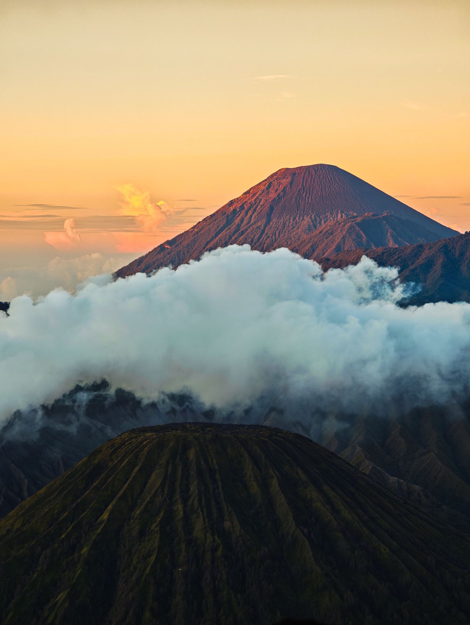
Semeru is the highest volcano on Java and one of the most persistently active in Indonesia. Its summit, Mahameru, sends up small ash plumes almost daily, while a quiet crater lake on its northern slopes draws hikers from across the country.
Java's highest mountain
Semeru rises at the southern end of a volcanic massif that stretches north to the Tengger caldera and Mount Bromo. It is the highest volcano on Java. Indonesian sources give its height as 3,676 metres, while the Smithsonian Global Volcanism Program lists 3,657 metres. The summit is called Mahameru, the Great Mountain.
The active vent, Jonggring Saloko, sits beside the summit. It has been in almost continuous eruption since 1967. Small explosions recur at intervals of tens of minutes, each sending a grey puff of ash into the morning sky. From a distance the mountain seems to keep its own slow rhythm.
A long record of eruptions
Most of Semeru's recorded activity has been small to moderate explosions from the summit crater. Occasionally the volcano produces lava flows or larger eruptions that send pyroclastic flows onto the lower flanks. Mudflows in 1909 and 1981 were among its deadliest events. The current eruptive phase, as defined by the Smithsonian, began in June 2017.
On 4 December 2021, heavy rain destabilised material at the summit and triggered pyroclastic flows and lahars. Villages in Lumajang were buried in ash, and a lahar destroyed the Gladak Perak bridge. More than 40 people died and thousands were displaced. A year later, on 4 December 2022, the alert level rose to 4, the highest. It reached 4 again after pyroclastic flows on 19 November 2025.
The seat of the gods
The name Mahameru links the volcano to Mount Meru, the cosmic mountain at the centre of the Hindu and Buddhist universe. An old Javanese text, the Tantu Pagelaran, tells how the gods carried part of Meru from India to steady the island of Java. They first set it in the west, but the island tilted, so they moved it east.
Fragments that fell along the way became Java's other mountains. The main body became Semeru, described in the text as the abode of Shiva. The Tengger people, who live around Bromo and Ranu Pani, still hold the surrounding landscape sacred. During their Kasada ceremony, the national park has closed the Semeru trail out of respect.
The trek
The climb begins at Ranu Pani, a highland village with its own small lake. A few hours of walking leads to Ranu Kumbolo, a lake at about 2,400 metres where many hikers camp. Beyond it the route continues through Cemoro Kandang and Jambangan to Kalimati, the traditional base for the summit attempt.
In more settled times, climbers left Kalimati in the dark for a steep ascent on loose volcanic sand. The summit has, however, been off limits for long periods because of eruptive activity. After the November 2025 eruption the route closed entirely. It reopened on 24 April 2026 only as far as Ranu Kumbolo, with a licensed local guide required. After a forest fire in late August 2026, all trails were closed again; check the national park's current status before planning a trek.
Staying safe
Semeru is monitored by Indonesia's Center for Volcanology and Geological Hazard Mitigation, known as PVMBG, which publishes alert levels through MAGMA Indonesia. In October 2026 the volcano remained at Level 3. Authorities advised staying at least 5 kilometres from the crater and much farther along the southeastern Kobokan drainage, where pyroclastic flows tend to travel.
Conditions change quickly here. The national park can close the trail for eruptions, heavy rain or ceremonies, sometimes at short notice. Before planning a visit, check the current alert level on MAGMA Indonesia and the status announced by Bromo Tengger Semeru National Park. Respect the turnaround point, however tempting the summit looks.
