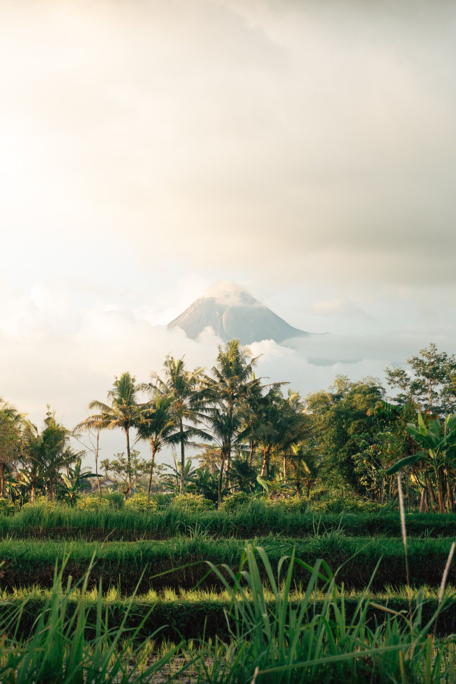
Merapi rises just north of Yogyakarta and is one of Indonesia's most active volcanoes. Its growing lava domes, deadly pyroclastic flows and deep place in Javanese belief make it a mountain watched by scientists and honoured by the palace.
One of Indonesia's most active volcanoes
Merapi stands in one of the most densely populated regions on Earth, and its upper slopes are bare because they rarely have time to recover. The Smithsonian Global Volcanism Program describes it as the youngest and southernmost peak of a volcanic chain running north toward Ungaran. Its modern cone grew after a major collapse of an older edifice, perhaps about 2,000 years ago.
The mountain's signature is its summit lava dome. Thick, viscous magma piles up until the dome grows unstable and parts of it break away. The collapsing rock becomes a glowing avalanche of gas and debris. Volcanologists call this the Merapi type of pyroclastic flow, or nuée ardente. Villagers call it wedhus gembel, the shaggy goat. Such flows struck in 1930, when more than a thousand people died, and again in 1994.
The eruption of 2010
On 26 October 2010 Merapi began its largest and most explosive eruption in more than a century. Over the following weeks pyroclastic flows swept down the southern valleys, and the danger zone was extended to 20 kilometres from the crater. More than 350 people died and around 350,000 were displaced. A study published through the USGS credits timely forecasts by Indonesian scientists with saving between 10,000 and 20,000 lives.
Among the first victims was Mbah Maridjan, the mountain's spiritual gatekeeper. He refused to leave his home in the hamlet of Kinahrejo, about five kilometres from the peak, saying it was his duty to stay. Rescuers found him in a position of prayer. Several people who had come to persuade him to evacuate died with him. Only the village mosque was left standing in Kinahrejo.
A sacred mountain
In Javanese belief, Merapi is far more than a geological feature. Villages on its slopes hold that a spirit kingdom lies inside the mountain, a counterpart to the court of Yogyakarta. The palace, or Kraton, sits on a symbolic north to south axis between the volcano and the Southern Ocean, and the Sultan is linked to the spirits of both.
That bond is renewed through labuhan, a palace ritual of offerings held at sacred sites that include Merapi and the beach at Parangkusumo. Royal court tradition also recalls a 1586 eruption that destroyed an army attacking the young kingdom of Mataram. Each year a procession from Kinahrejo carries the offerings up the slope, led by the mountain's appointed guardian. Mbah Maridjan held that role from 1982 until his death.
Visiting today
Most visitors experience Merapi from its southern slopes. Kaliurang, an old hill resort about eight kilometres south of the mountain, and the villages of Cangkringan are the usual starting points. Open jeeps follow the paths of the 2010 flows to sites such as the Kaliadem bunker, the giant boulders of Batu Alien and the Sisa Hartaku museum, where belongings recovered from buried homes are displayed. Mbah Maridjan's former home in Kinahrejo is now a small memorial.
The Merapi Museum on Jalan Kaliurang explains the volcano's science and history. It is a good first stop before heading up the slopes. Climbing to the summit is a different matter. As of mid 2026, the Mount Merapi National Park authority stated that the trails had not reopened and that climbing was not recommended while the volcano remains on alert.
Staying safe
Merapi is monitored around the clock by BPPTKG, the Yogyakarta-based geological hazard agency, and its status is published through the national MAGMA Indonesia system. The alert level was raised to Siaga, Level III of four, on 5 November 2020 and remained there through 2026. Under recent recommendations, the danger zone reaches up to seven kilometres along certain river valleys to the southwest and five kilometres along the Gendol to the southeast.
Check the latest BPPTKG update before any trip, travel with licensed local operators, and stay out of restricted zones. Rain can turn fresh ash into fast-moving lahars along the river channels, so follow local warnings closely. Danger zones change as the dome grows. Viewpoints and tour routes that are open one season may be closed the next, and local guides know the current limits best.
