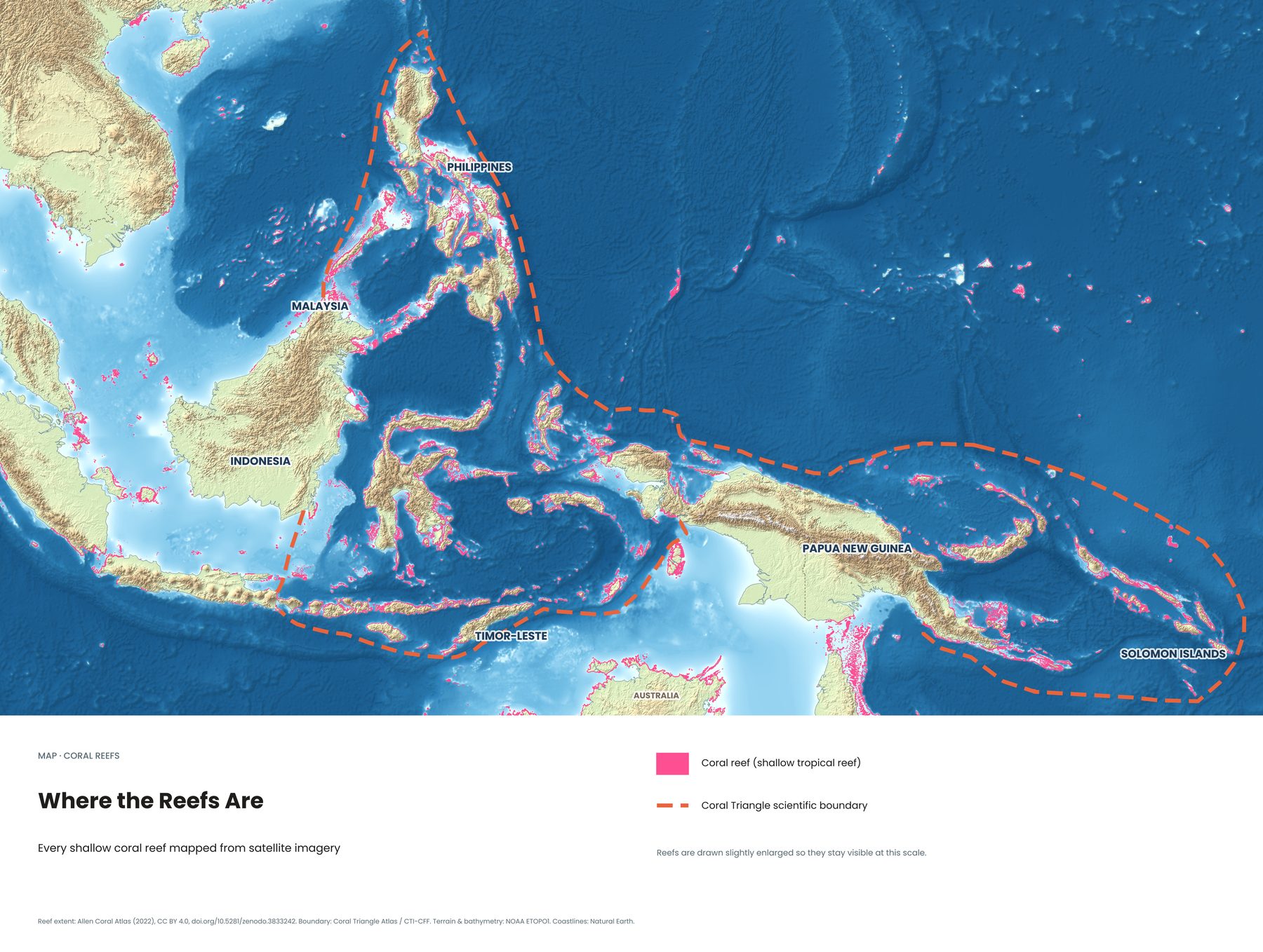
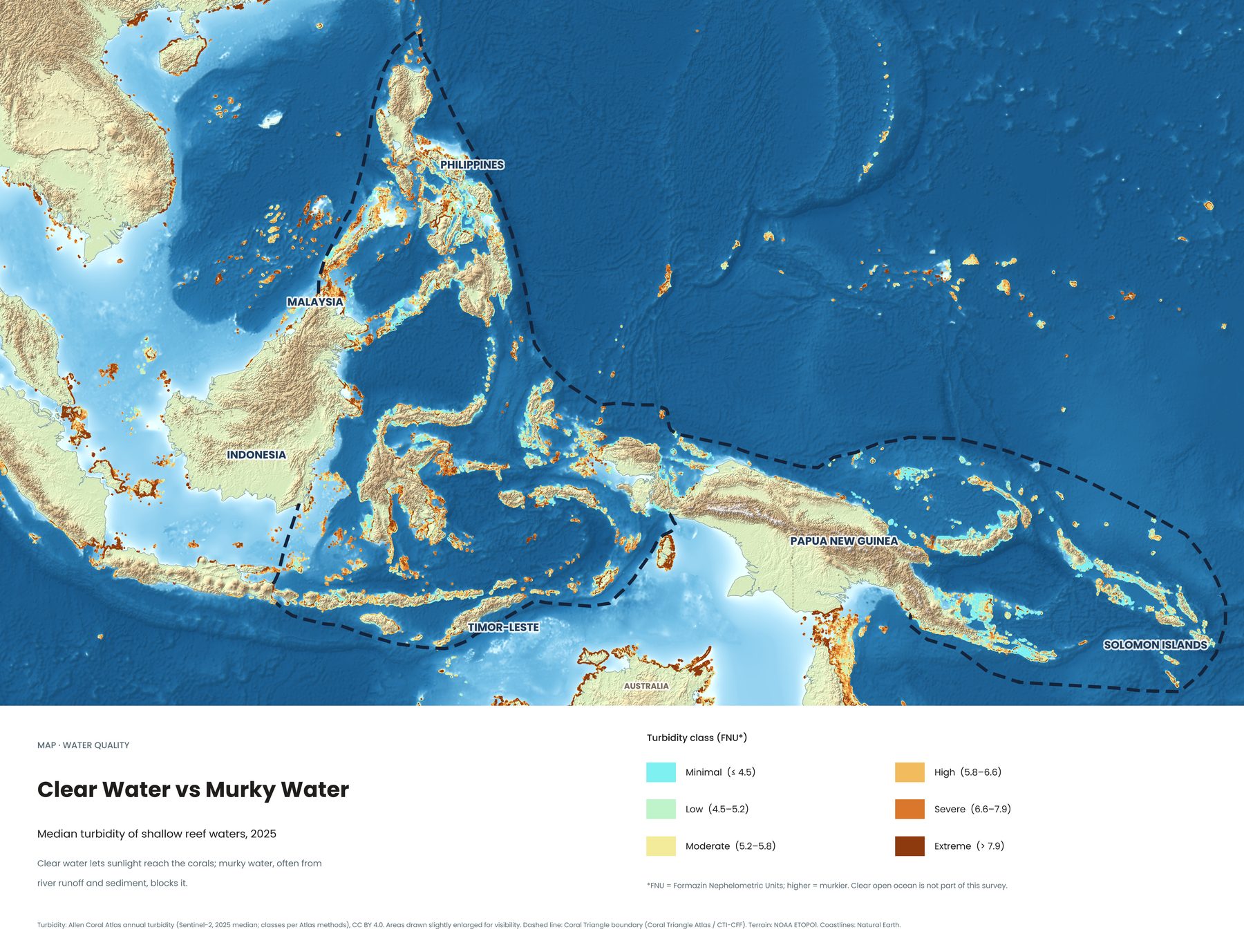
Divers talk about visibility. Corals care about it even more, because they need sunlight to grow. This map shows how clear or murky the water was over every shallow reef in the Coral Triangle in 2025, measured from space.
How to read the map
Turbidity measures how cloudy the water is. The higher the value, the murkier the water.
| Minimal (≤ 4.5 FNU) | Clearest water, shown in turquoise |
|---|---|
| Low (4.5–5.2) | Clear |
| Moderate (5.2–5.8) | Some cloudiness |
| High (5.8–6.6) | Murky |
| Severe (6.6–7.9) | Very murky |
| Extreme (> 7.9) | Heavily clouded, shown in dark brown |
Clear open ocean isn't part of this survey. The map only shows shallow water over reefs.
What makes water murky
Most of the brown and orange areas sit near big rivers, cities and coasts with heavy runoff, where rain washes soil and sediment into the sea. The clearest reefs tend to be around small, remote islands with little run-off, like many of the outer islands of eastern Indonesia and the Solomon Islands.
Why it matters
- For corals: sediment blocks sunlight and can smother young corals, slowing reef growth.
- For divers: clear water means better visibility and better photos. That said, some world-class sites, like Lembeh's muck dives, are famous precisely for life on murky, sandy bottoms.
- For conservation: protecting mangroves and forests on land keeps sediment out of the sea. Why mangroves matter for reefs →
See all eight Coral Triangle maps →
Sources
- Allen Coral Atlas annual turbidity (Sentinel-2, 2025 median; classes per Atlas methods), CC BY 4.0
- Boundary: Coral Triangle Atlas / CTI-CFF. Terrain: NOAA ETOPO1. Coastlines: Natural Earth