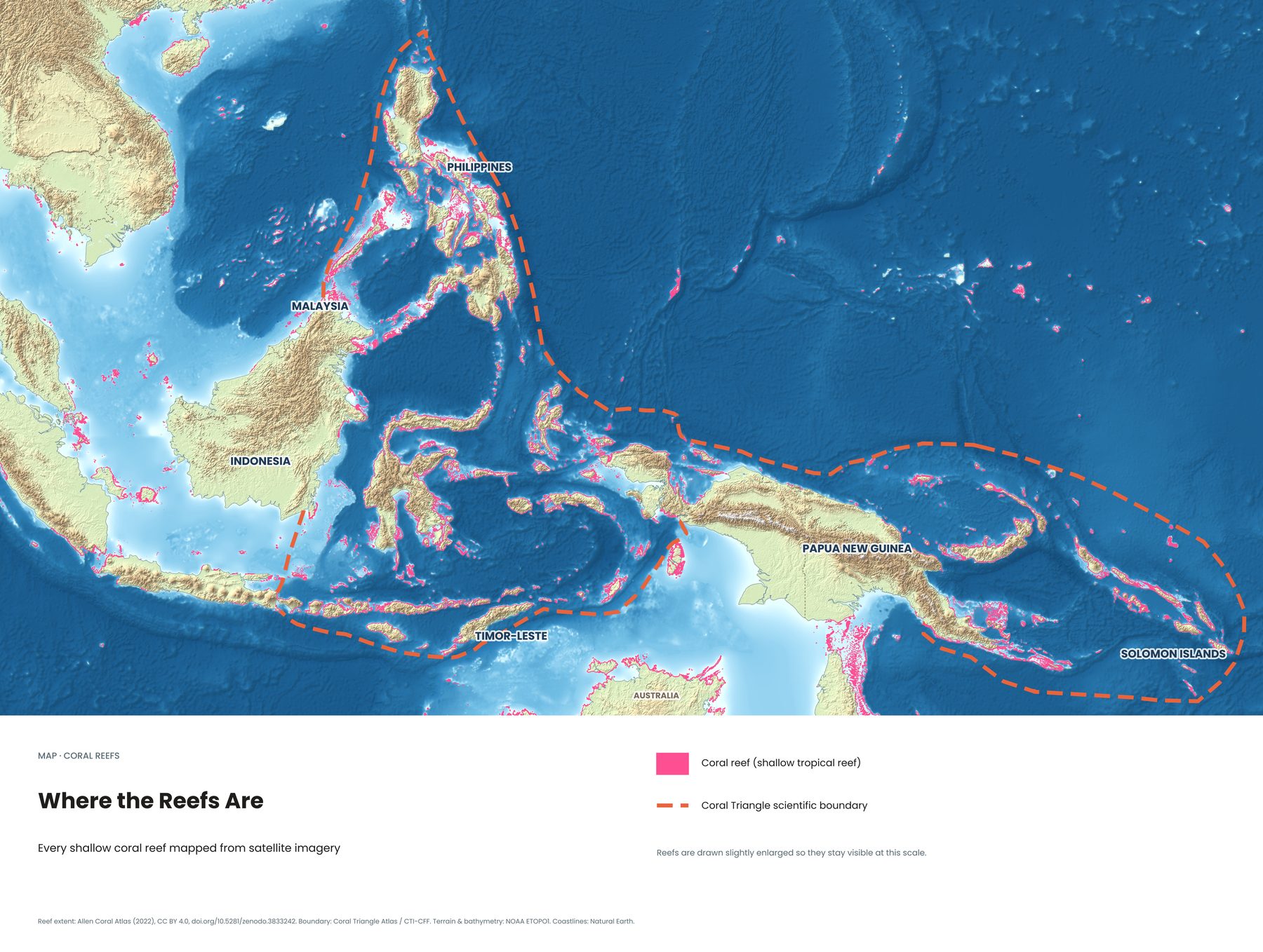
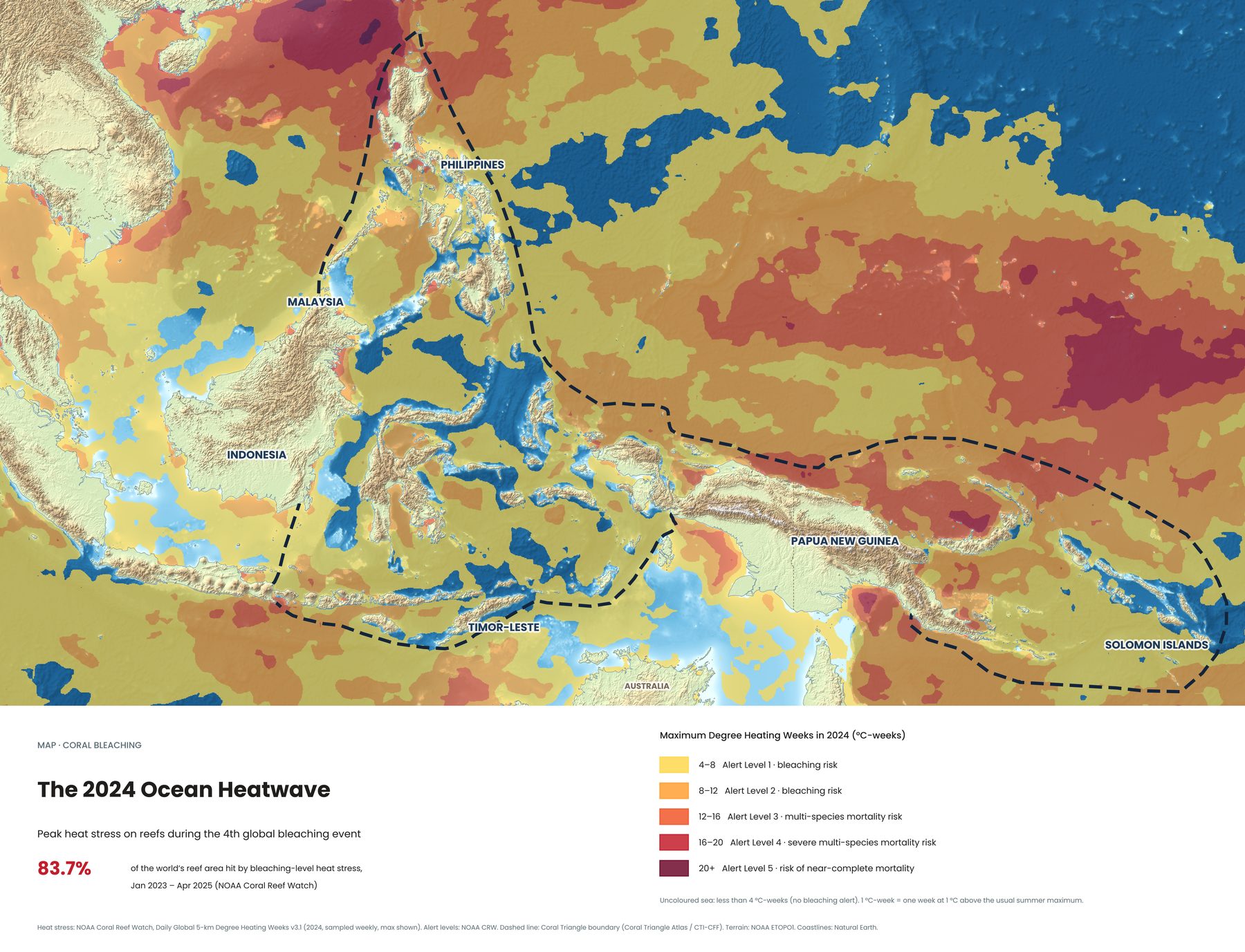
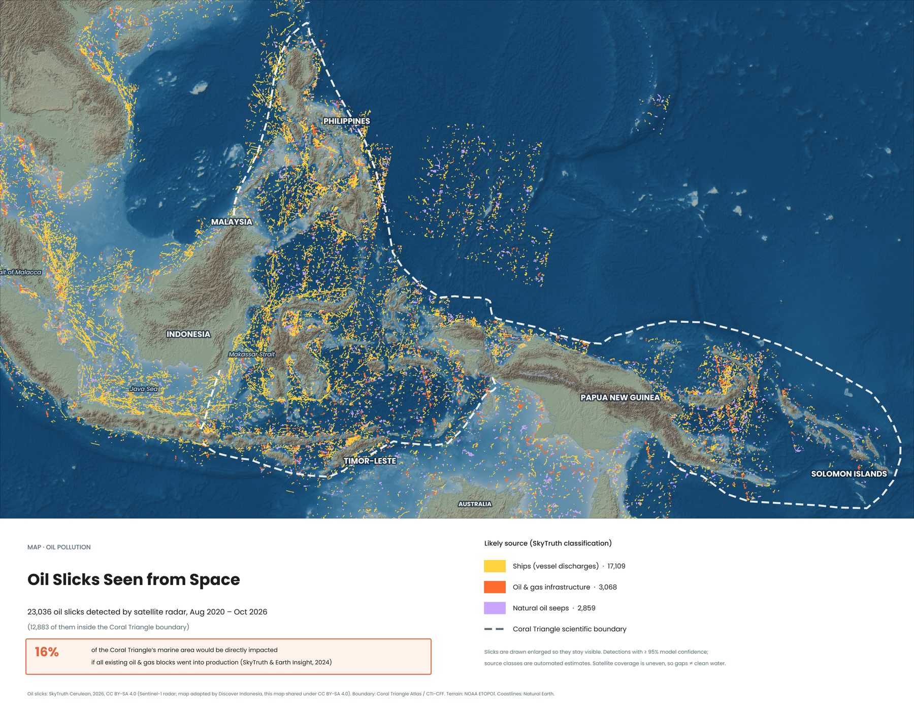
Every second, about 15 million cubic metres of Pacific Ocean water squeeze through the islands of Indonesia on their way to the Indian Ocean. Oceanographers call it the Indonesian Throughflow. Divers know it as the reason for cold water, ripping currents and big animals.
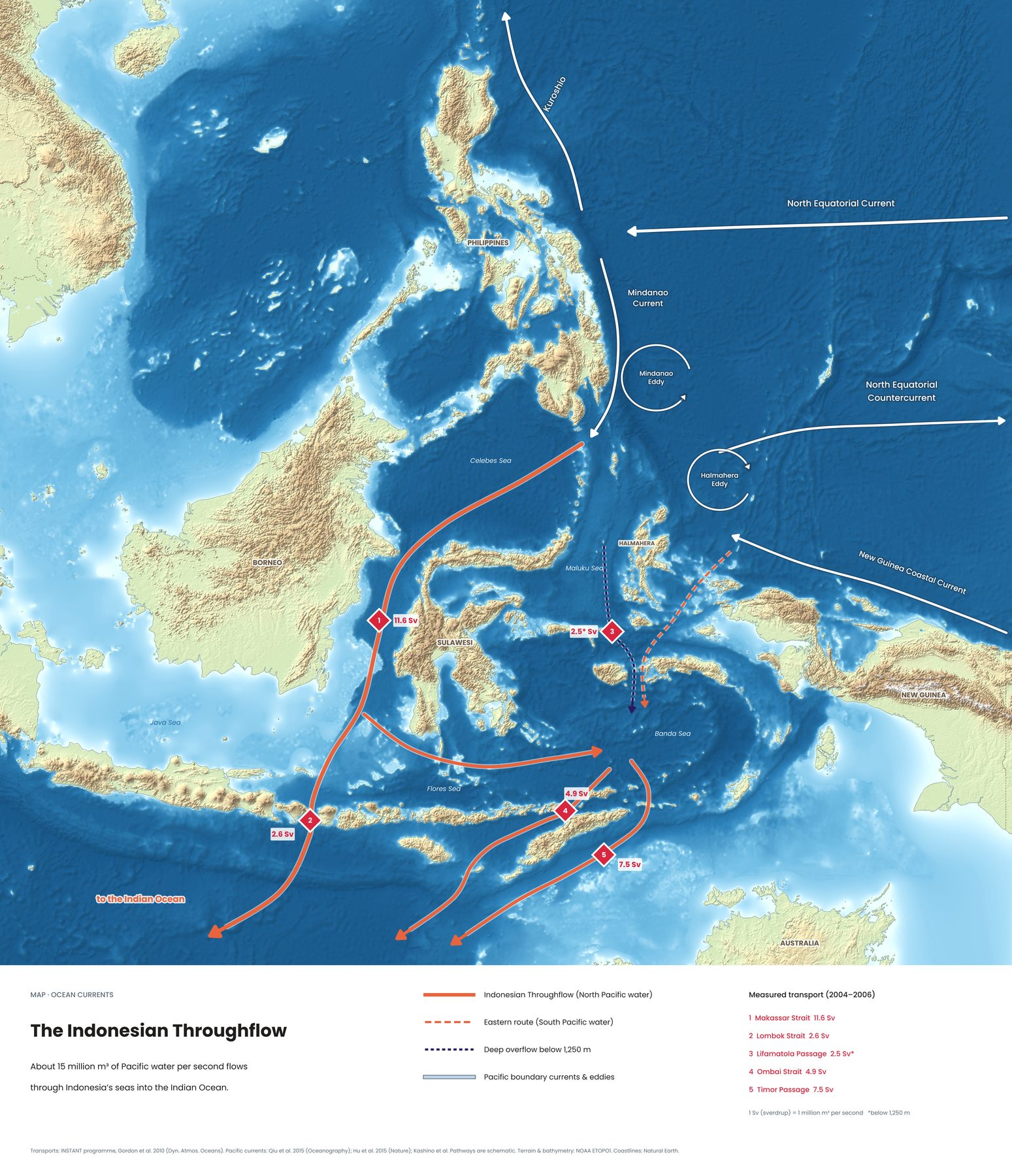
Why the ocean flows through Indonesia
The western Pacific sits slightly higher than the Indian Ocean. Water flows downhill, and the only way from one ocean to the other in the tropics is through the gaps between Indonesia's islands. The result is one of the biggest ocean currents on the planet, running right through the Coral Triangle.
Most of the water enters from the north, carried down past the Philippines by the Mindanao Current. A smaller share comes from the South Pacific, through the seas around Halmahera.
The five gates, measured
Between 2004 and 2006, the international INSTANT programme moored instruments in the main channels and measured how much water passes through each one:
| 1 · Makassar Strait | 11.6 Sv, between Borneo and Sulawesi. The main highway: most of the throughflow passes here. |
|---|---|
| 2 · Lombok Strait | 2.6 Sv, between Bali and Lombok. The shortest exit to the Indian Ocean, right past Nusa Penida. |
| 3 · Lifamatola Passage | 2.5 Sv, deep water below 1,250 m, flowing south into the Banda Sea. |
| 4 · Ombai Strait | 4.9 Sv, north of Timor, past Alor. |
| 5 · Timor Passage | 7.5 Sv, south of Timor, the widest exit. |
One Sverdrup is a million cubic metres of water per second. For comparison, all the world's rivers together carry roughly one Sverdrup into the sea.
What it means for divers
- Nusa Penida, Bali. The Lombok Strait funnels water past the island. Cold upwellings from the deep bring mola mola in season and keep reef manta rays fed, but also bring fast, changeable currents. Bali dive guide →
- Komodo. Tides drive water between the Flores Sea and the Sumba Strait through narrow channels. That's why Castle Rock and The Cauldron are among the most current-swept dives in Indonesia. Komodo dive guide →
- Alor. The Ombai Strait carries water from the Banda Sea past Alor, bringing cold water and excellent visibility. Alor dive guide →
The same currents carry coral larvae and nutrients from reef to reef. It's one of the reasons the Coral Triangle is so rich. See all eight Coral Triangle maps →
Diving safely in throughflow water
- Dive with local guides who plan around the tides and know where the currents turn.
- Carry a surface marker buoy (SMB) on every drift dive.
- Expect sudden temperature drops. A thicker wetsuit or a hood makes a real difference.
- Build your drift-diving experience on easier sites before the famous current dives.
Sources
- INSTANT programme: Gordon et al. 2010, Dynamics of Atmospheres and Oceans
- Pacific boundary currents: Qiu et al. 2015; Hu et al. 2015
- Terrain and bathymetry: NOAA ETOPO1. Coastlines: Natural Earth