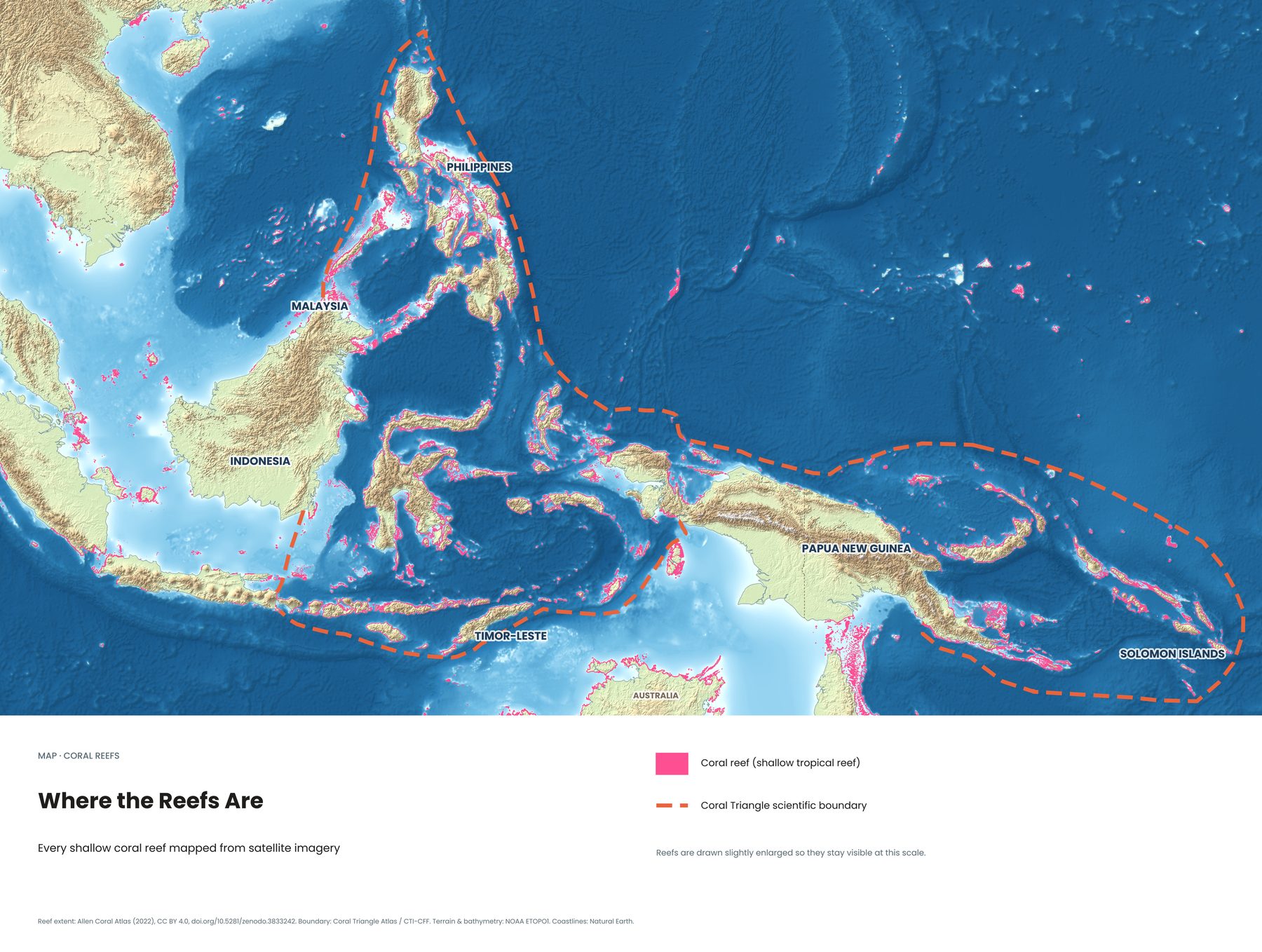
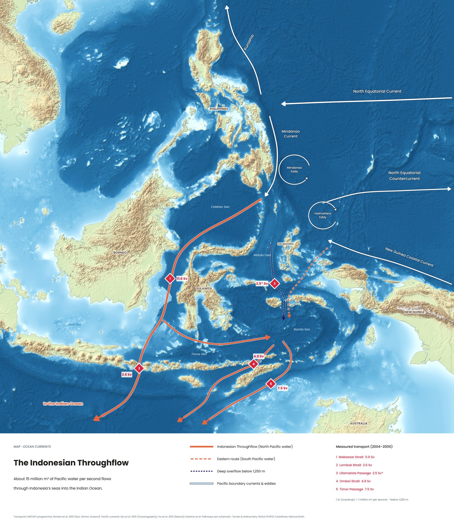
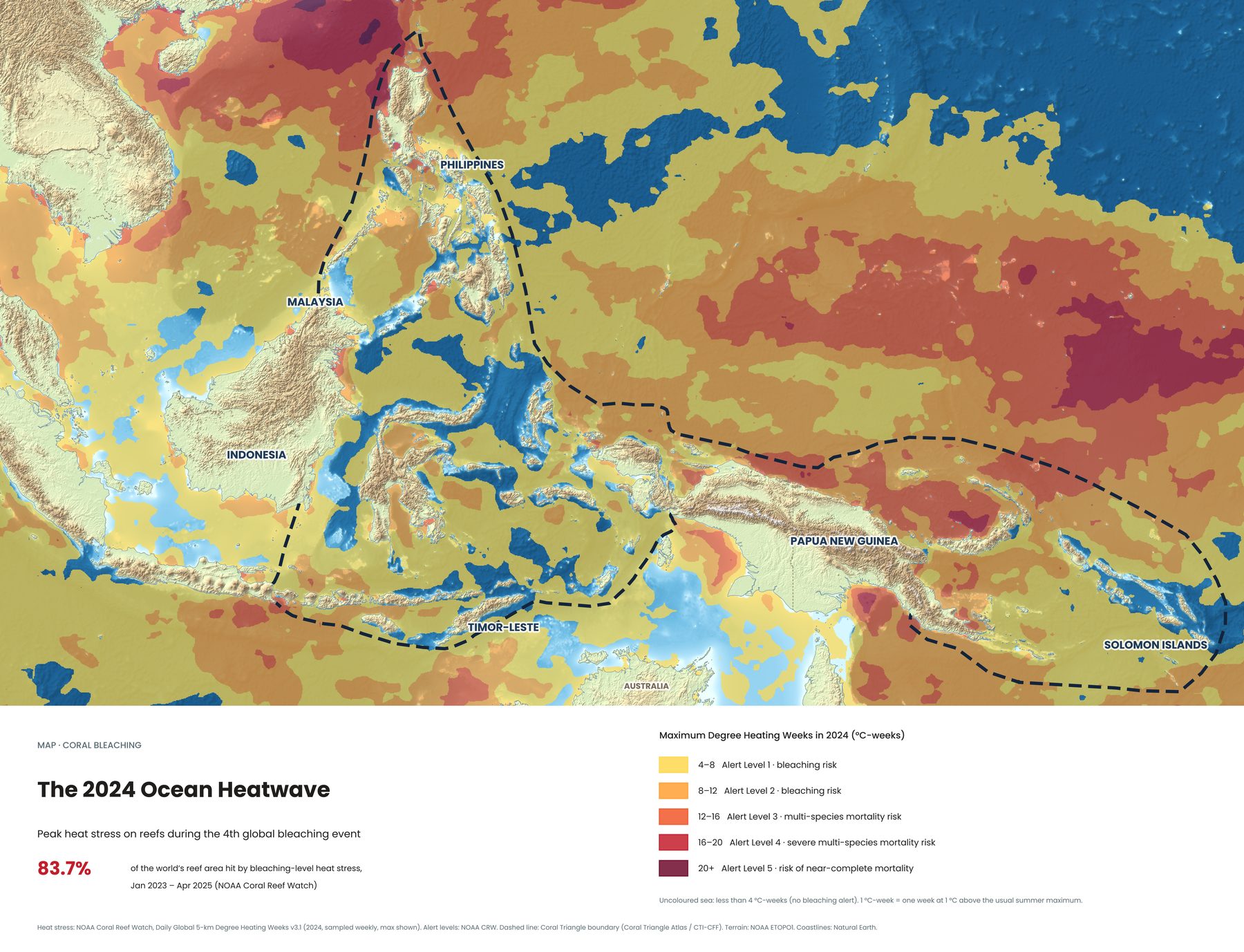
Indonesia's far east is where the Coral Triangle is at its richest and its wildest. Raja Ampat gets the headlines, but the region around it is just as remarkable: whale sharks in Cenderawasih Bay, the spice islands of Banda, and the critters of Ambon.
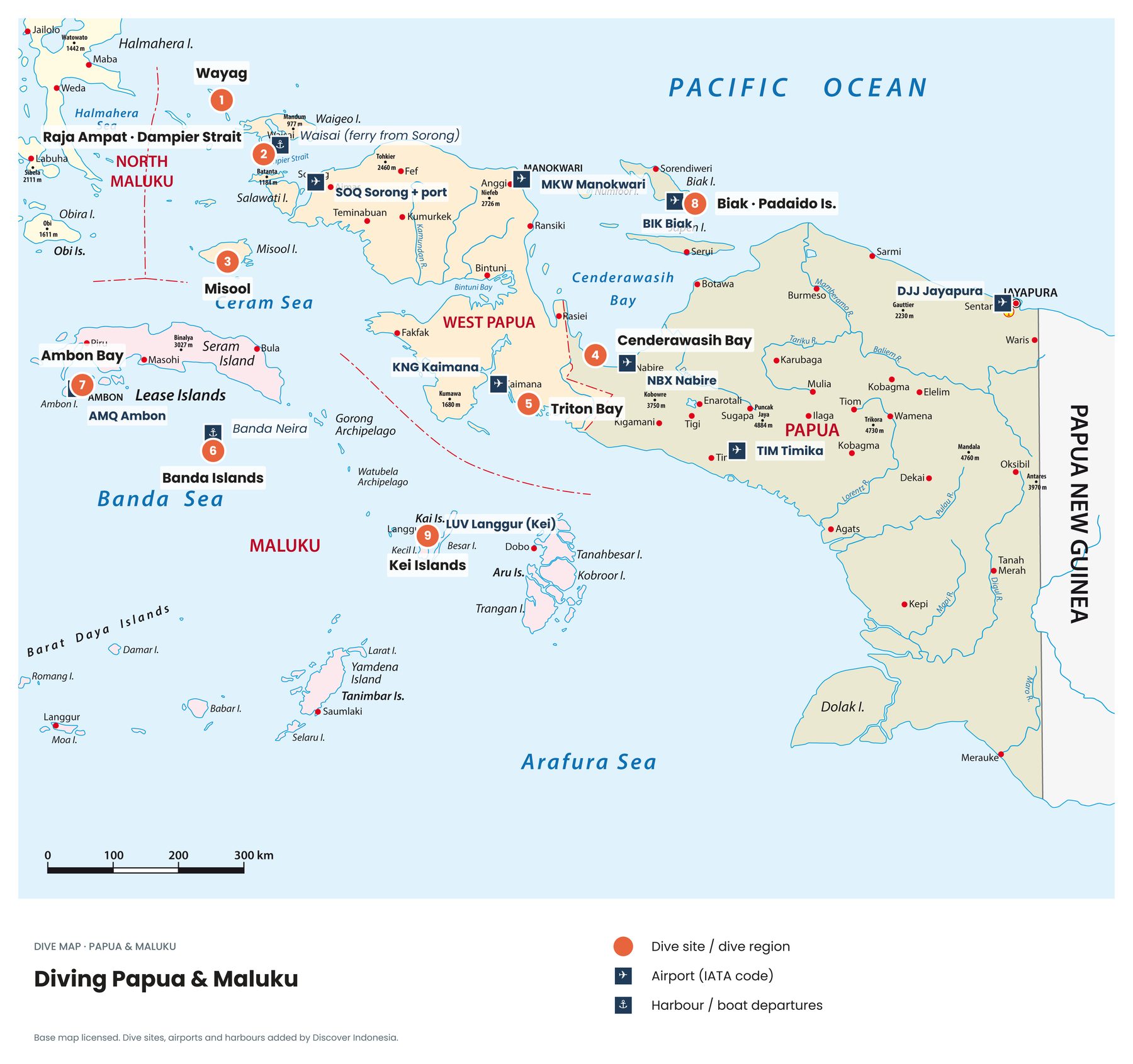
Raja Ampat
- WayagThe karst islands in the far north of Raja Ampat, the view on most Raja Ampat postcards. Reached by liveaboard or a long boat trip.
- Dampier StraitThe heart of Raja Ampat diving: Cape Kri, Blue Magic and Manta Sandy. Ferry from Sorong to Waisai. Dampier Strait dive guide →
- MisoolThe southern part of Raja Ampat, famous for soft corals and protected reefs. Usually visited by liveaboard.
Papua's bays
- Cenderawasih BayWhale sharks gather around the floating fishing platforms called bagans, attracted by the small fish the fishermen catch. Nabire (NBX) is the nearest airport.
- Triton BayNear Kaimana on Papua's south coast. Plankton-rich water and very colourful soft corals.
- Biak & the Padaido IslandsNorth of Cenderawasih Bay, with reefs, walls and Second World War history around Biak.
Maluku: the Spice Islands
- Banda IslandsThe tiny islands that were once the world's only source of nutmeg. Walls, big fish, and a reef that has regrown over the lava flow of the Gunung Api volcano.
- Ambon BayMuck diving close to the city of Ambon, with critters to rival Lembeh. Ambon (AMQ) has direct flights.
- Kei IslandsSoutheast Maluku, best known for white sand beaches, with quiet reefs around the islands. Langgur (LUV) is the airport.
Practical information
- Distances are big. This map covers more than 1,000 kilometres. Plan one or two regions per trip.
- Liveaboards are the easiest way to reach Wayag, Misool, Triton Bay and the Banda Sea. Many run seasonally, so check routes and dates early.
- Permits and fees apply in Raja Ampat and other protected areas.
Sources
- Base map licensed; dive sites, airports and harbours added by Discover Indonesia